Mapping together for improved healthcare delivery: the HCRI humanitarian mapathon, 2019
This blog has been written by Dr Billy Haworth, Lecturer in International Disaster Management. The blog discusses the Humanitarian Mapathon which took place in March and contributed to creating the first ever detailed map of Uganda to help deliver healthcare and prosthetic limbs to people who were mutilated during conflict.
Maps, humanitarianism, and public participation
High quality and up-to-date maps and geographic information at appropriate spatial scales are vital for effectively preparing for and responding to disasters and humanitarian crises. Risk reduction activities, resource and service delivery, rescue and emergency care, information flows and risk communication, impact assessments and disaster recovery are all dependent on spatial information. In some parts of the world national/government maps, and even Google maps, are inadequate or incomplete, and alternative maps are required.
Public participation in mapping for disaster response and humanitarian crises has increased significantly in the last decade. Sometimes referred to as digital humanitarianism or digital volunteering, or more broadly volunteered geographic information (VGI), the practices of private citizens contributing geographic information for crisis management has been facilitated by technological advancements such as broadband internet and Web 2.0, cloud storage, GPS and smartphones.
Despite limitations, including digital divides and unequal online participation, and data quality concerns, among others, VGI has provided highly useful maps and geographic information to aid in a variety of humanitarian crises, with the use of OpenStreetMap in response to earthquakes in Haiti (2010) and Nepal (2015) as key examples.
What is a mapathon?
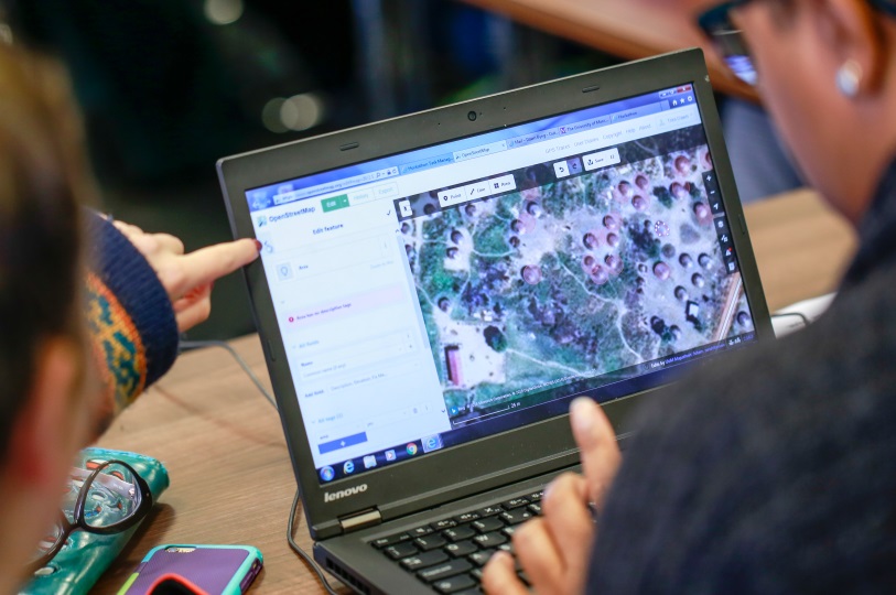
Huts and villages in Uganda being mapped on OpenStreetMap
OpenStreetMap (OSM) is an online, crowdsourced mapping platform – a bit like Google Maps but created by people like you! Volunteers work independently or collaboratively to add and edit content on the global digital map.
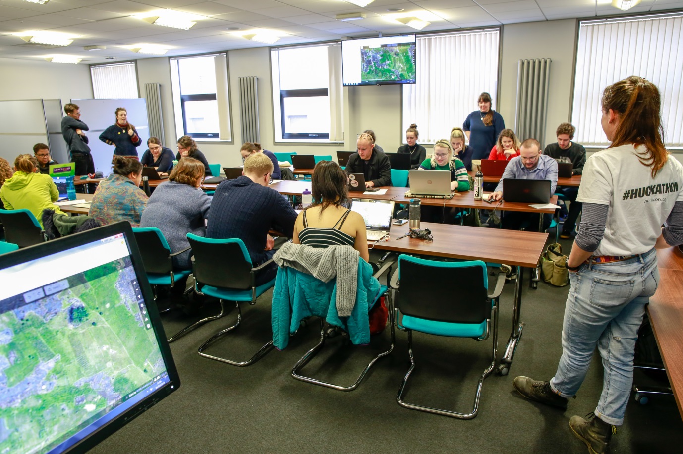
A mapathon is a bit like a ‘mapping party’, whereby people come together to complete a whole load of OSM mapping in a relatively short period of time. The idea being that with everyone working together in just a few hours we can make a BIG contribution! Importantly, mapathons are usually accompanied by free pizza and other fun snacks for the volunteers!
The HCRI humanitarian mapathon
In March 2019 we held our annual mapathon in the Humanitarian and Conflict Response Institute (HCRI), University of Manchester. With colleagues in Geography, we were aiming to contribute to an ongoing project coordinated by Dr Jonny Huck seeking to improve delivery of healthcare and prosthetic limbs to people who were mutilated during conflict in North Uganda. The mapping involved tracing basic information, such as people’s homes, on satellite photographs.
Around 40 students, academic and support staff from HCRI and across the university volunteered to contribute ~20,000 features (roads, huts, buildings etc) to the poorly mapped region of Acholi in Uganda (Wow!). This open source mapping and data will directly help in reaching people with urgently needed healthcare.
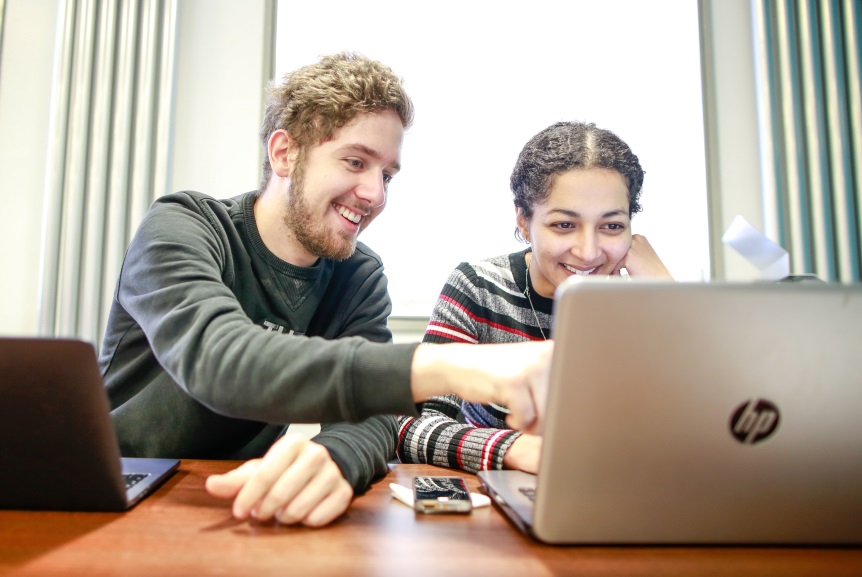
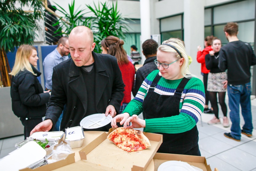
Volunteers work together to add features to poorly-mapped regions; no mapathon is complete without pizza!
Mapping is also valuable to volunteers
Mapathons are enjoyable and rewarding for volunteers
“The mapathon was a great way to engage with people who have varying levels of map/geographic information systems (GIS) experience. The process of mapping roads, houses, tracks, buildings etc was very simple. The handouts of how to complete the tasks meant that it was straightforward and you constantly have a source to refer back to. The project as a whole meant that the time I gave felt worthwhile and like I was really making a difference to medical logistic teams in Uganda. I would highly recommend anyone to come along to the next event and get involved; it’s a great way to spend a couple of hours.”
– Rach, HCRI MSc student.
“I think it was particularly useful for students of GIS and disasters, in which we critically analysed VGI to participate in the very digital volunteerism we were analysing. It was a more visceral and tangible demonstration of the quirks of geographic information that we were discussing in class (e.g. map projections) even if these particular quirks were relatively trivial.
It was nice to bring together people who I’d never seen before across the school and get a feel for what a larger group VGI volunteering effort looks like. I think a lot of people got a fair bit out of it, and I left the event feeling good. The software is super simple and easy to learn and having a few skilled people there to help when problems arose was enough to get everybody up and running.”
– Mike, HCRI MSc student.
Get involved!
YOU can contribute too!
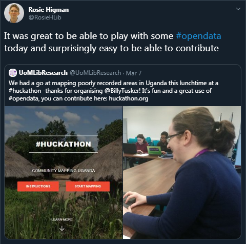
You don’t need any prior mapping experience, just a computer and an internet connection, and you can map anytime. Visit http://huckathon.org/ to learn more about the North Uganda project and start mapping! Each feature you add to the map could mean a new limb for someone who has been injured by conflict. Better still; why not host your own mapathon?!
The HCRI humanitarian mapathon, University of Manchester, 2019.
The HCRI mapathon was funded by the School of Arts, Languages and Cultures (SALC) Social Responsibility and Cultural Engagement fund, University of Manchester.
Contact Us
+44 (0)161 275 0245
0 Comments